Navigation

Master the art of navigation at sea, covering chart plotting, route planning, and the use of navigational instruments for sailing and boating personnel.
    Ratings:

  • Top Authors:

  • Price:

  • Language:

  • Length:

This course explains what Aids to Navigation are, how to recognise them and how to understand them.

Navigation
23 minutes
Avg. rating 4.5

This course will introduce, explain and then teach you how to apply Rule 12 of the International Regulations for the Prevention of Collisions at Sea (Rules of the Road).

Navigation
14 minutes
Avg. rating 4.6

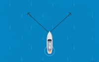
In this course, you will learn the basic tricks for not being stuck in port with an unmanageable boat, and practical schemes to get by in four difficult situations.

Manoeuvring
14 minutes
Avg. rating 4.7

This course will introduce, explain and then teach you how to begin learning the International Regulations for Prevention of Collisions at Sea (Rules of the Road).

Navigation
5 minutes
Avg. rating 4.7

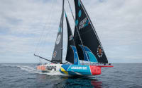
Sailing during the day is fun and doing it at night is definitely fascinating. However, it can make a huge difference with or without the moon and/or wind. What is needed is common sense and awareness. In fact, in this course, we will understand how to prepare and what to expect to live this incredible experience peacefully and safely.

Navigation
13 minutes
Avg. rating 4.6

This course will introduce and explain Rule 15 of the International Regulations for Prevention of Collisions at Sea (Rules of the Road).

Navigation
7 minutes
Avg. rating 4.7

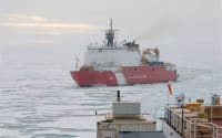
Both RADAR and AIS instruments are precious aids in preventing the risk of collisions at sea. The way they work is based on totally different technologies. A RADAR transmits radio signals, receives their echo through a rotating antenna processed, and shows them on the instrument display. An AIS transmits and receives a vessel's navigation information on dedicated VHF channels and calculates the potential collision risk.

Navigation
1 hour and 53 minutes
Avg. rating 4.7

This course is designed to provide up-to-date information about buoyage, their terms and meaning, for safe navigation worldwide.

Navigation
16 minutes
Avg. rating 4.7

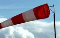
This course introduces meteorology to educate the participants with practical knowledge of recognising and predicting potential weather changes on both land and sea.

Meteorology
33 minutes
Avg. rating 4.6

This course will introduce and explain Rule 3 of the International Regulations for the Prevention of Collisions at Sea (Rules of the Road).

Navigation
13 minutes
Avg. rating 4.7

This course gives a brief but exhaustive explanation of what passage planning means.

Navigation
10 minutes
Avg. rating 4.5

This course is designed in reference to GMDSS IMO standard which provide guidelines on the usage of distress and safety systems required on board, depending on the area you are navigating in.

Safety
13 minutes
Avg. rating 4.5